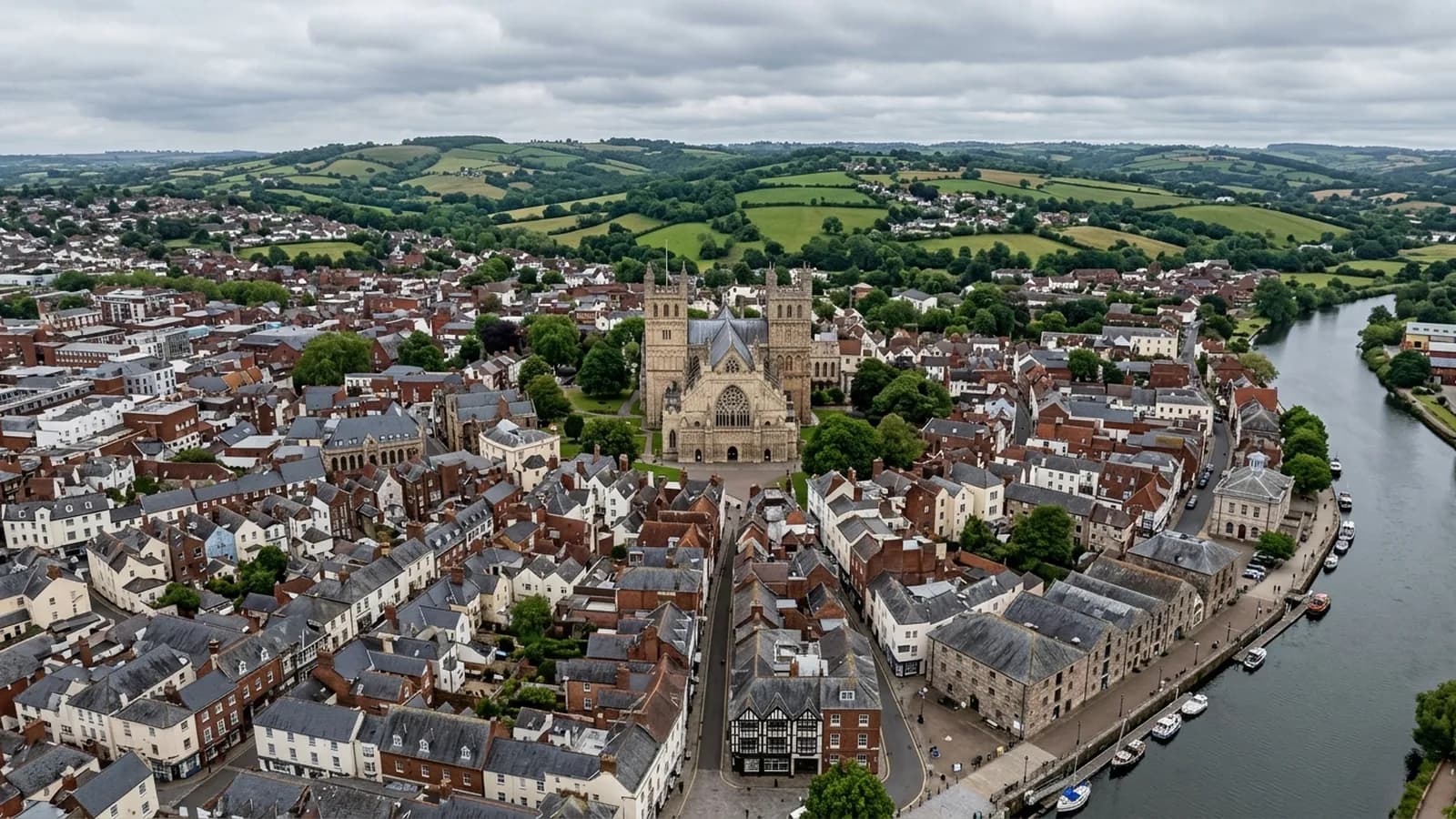
Devon · PL1-PL9
Drone surveys in Plymouth, flown by the surveyor who writes them
About an hour down the A38 and the biggest urban job on the list: limestone ridges, post-war flat roofs, and salt wind coming straight off the Sound.
An hour down the A38, and worth planning properly
Plymouth is roughly an hour from Exeter on the A38, and that drive shapes how the work is organised rather than what it costs. Travel sits inside the fixed price whichever end of the county you are at, but a Plymouth job is normally set up as a proper half day so that everything on the list gets flown in one visit rather than two.
If you have several buildings, or a building and a couple of its neighbours, say so at the enquiry. Plymouth is the sort of trip where adding a second address costs a little time and saves a whole return journey.
A city built on ridges
The city is laid out across a series of limestone ridges between the Plym and the Tamar, so streets climb and fall sharply between the waterfront and the higher suburbs. For a surveyor that means the relationship between a building and the ground it stands on changes street by street. A property near the top of a rise sits above the general roofline of everything around it, which is where wind loading is worst and where ridge, verge and flashing failures start.
It also means launch points need thought. On a steep street the obvious flat spot is often a good deal lower than the roof being surveyed, which is fine, but the aircraft is then climbing through the airspace over other people's property to get there. Worked out beforehand, that is a five minute problem. Worked out on arrival, it is the reason a morning gets wasted.
Four kinds of building, four kinds of problem
The rebuilt post-war centre is largely flat roofed commercial blocks, and asphalt and single ply on a large deck is a category where aerial inspection earns its fee outright. Nobody sees these roofs. Ponding, silted outlets, failed laps and lifted upstands accumulate for years above occupied offices and shops.
The surviving Victorian terraces around the Hoe, Stoke and Mutley bring slate, party wall abutments and shared valleys, where one owner's neglected gutter becomes the neighbour's damp wall. The extensive post-war estates bring concrete interlocking tile at scale, which is where a portfolio owner gets most value out of flying a whole street rather than a single address. And the modern waterfront apartments at Royal William Yard and Millbay bring height, lead and zinc detail, and full exposure to the water.
Civic buildings across the city carry lead and zinc, which reads differently from the air than any tiled covering. Splits, creep and failed welts show as lines and shadows rather than as missing units, and they are worth photographing close.
Salt, and how far inland it gets
Plymouth is open to the Sound and takes south westerly gales straight off the Channel. Salt laden wind reaches well inland across the city, which is why fixings and flashings here corrode faster than the same details would twenty miles up the Exe valley. On a survey that means the nail heads, the clips, the lead clips on ridge tiles and the fixings on any sheet covering are worth looking at in their own right rather than as an afterthought.
The exposed high suburbs at Crownhill and Southway catch the weather badly, being both high and open. Those are the addresses where a storm season leaves a visible trail, and where a survey after a bad winter usually finds something.
Flying near the water needs the wind treated with respect. An offshore breeze that feels manageable at ground level behind a building is a different proposition twenty metres up on the seaward side, and a flight that has to be abandoned and rebooked is a better outcome than one that should not have started.
Behind the survey
What Plymouth clients are actually buying
Registered with the CAA
A registered operator with both an Operator ID and a Flyer ID. The Operator ID is the one that has to be displayed on the aircraft, and it is the number a client or an insurer asks for.
A2 Certificate of Competency
The A2 CofC is the theory and self-practical qualification that sits above the basic Flyer ID test. There is no GVC, which is stated here rather than left out, because it changes how some sites have to be planned.
Insured with Coverdrone
Commercial cover through Coverdrone, one of the specialist drone insurers. A copy of the certificate goes out on request before a booking, not after it.
DJI Mavic 4 Pro
The main survey aircraft. A 100 megapixel Hasselblad camera and 6K video, which is what lets a photograph of a ridge from twenty metres away still show an open mortar joint.
DJI Mavic 2 Enterprise Advanced
The thermal aircraft. A 640 by 512 radiometric thermal camera alongside the visual one, so a heat pattern can be read against the picture of the same elevation.
Construction background
The surveying came after years of contracting, so the report is written by somebody who has stood on the scaffold as well as flown over it, and who knows which faults matter and which are cosmetic.
Written report within 48 hours
A process commitment, not a sales promise. The flight is the short part of the job; the report is where the time goes, and it lands within two days of the visit.
No scaffolding, no ladders
Nothing leans on the building and nobody goes up it. That removes the access cost, the permit paperwork and the working-at-height risk from the survey itself.
Nearby
Also covered around Plymouth
- IvybridgeAbout fifty minutes from Exeter. A late twentieth century town on the southern moor edge, where mechanically fixed ridge and verge details matter.
- TavistockAbout an hour from Exeter. A Victorian planned town in green Hurdwick stone, very wet, with tall stone stacks that take real wind loading.
See the credentials
Talk to a surveyor in Plymouth
Send the address and what is worrying you. Sam Hembury will come back with a fixed price and the next slot that suits the weather.