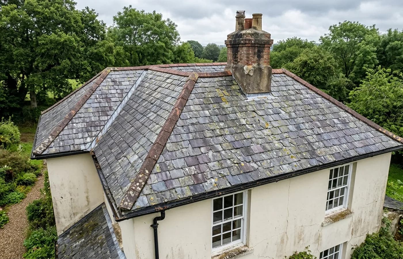
Roof and building inspection
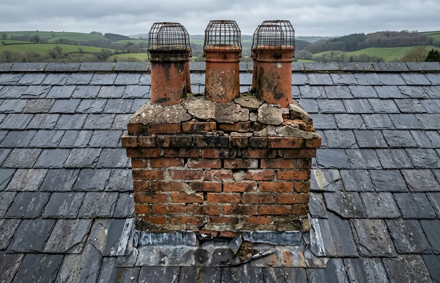
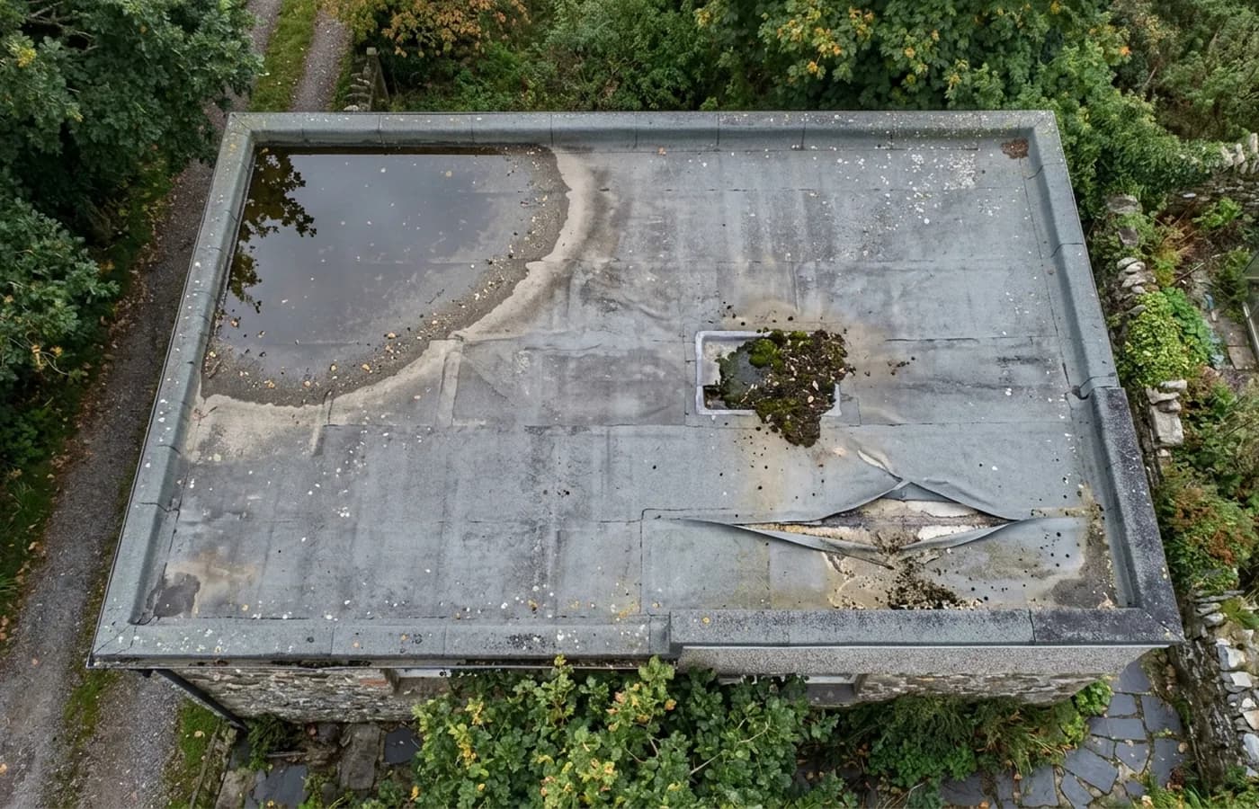
The main job: every slope, elevation, stack and gutter photographed close enough to make a decision on, without anything touching the building.
Roof and building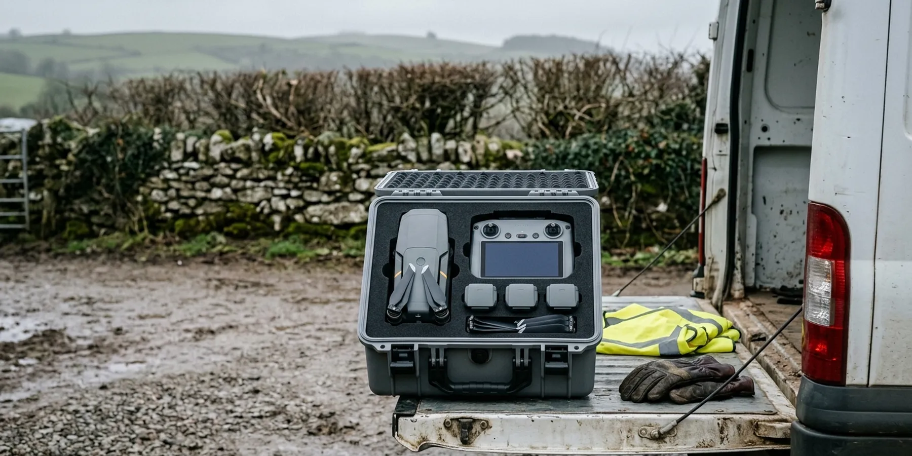
Exeter, Devon and the South West
Sam Hembury flies every job on this site himself, out of Exeter. Registered with the CAA, holding an A2 Certificate of Competency, insured with Coverdrone. What he holds, what he flies and where he covers is all set out below, so you can check it before you pick up the phone.
Why this page exists
Most drone survey websites are written about the drone. You get a picture of an aircraft against a sunset, a list of things it can see, and a form. What you do not get is the one thing that decides whether the job is any good: the name of the person who will fly it, what they are qualified to do, and who insures them if it goes into a conservatory.
That gap matters more than it looks. Anyone can buy a capable aircraft in an afternoon. The Civil Aviation Authority requires the operator to be registered, and there are recognised qualifications above that basic registration, but nothing stops a website from being vague about which of them a firm actually holds. If you are instructing on someone else's behalf, vague is the thing that comes back on you.
So this site is written the other way round. The aircraft are near the bottom. The person, the registrations, the certificate that is held, the one that is not, the insurer and the way a job runs are near the top, in plain words, in a form you can check or forward to whoever asked you to look into it.
The work
The main job: every slope, elevation, stack and gutter photographed close enough to make a decision on, without anything touching the building.
Roof and building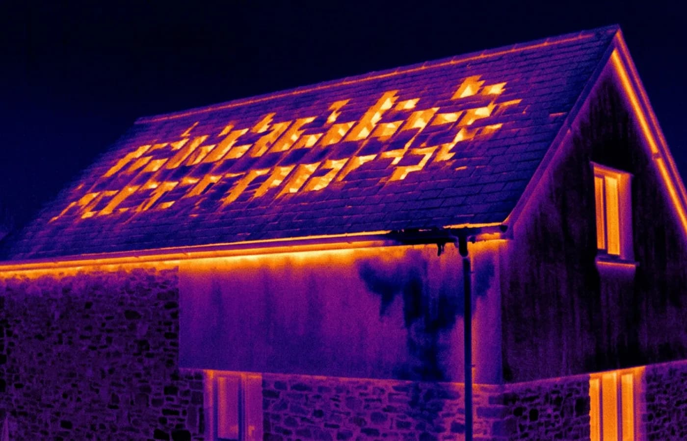
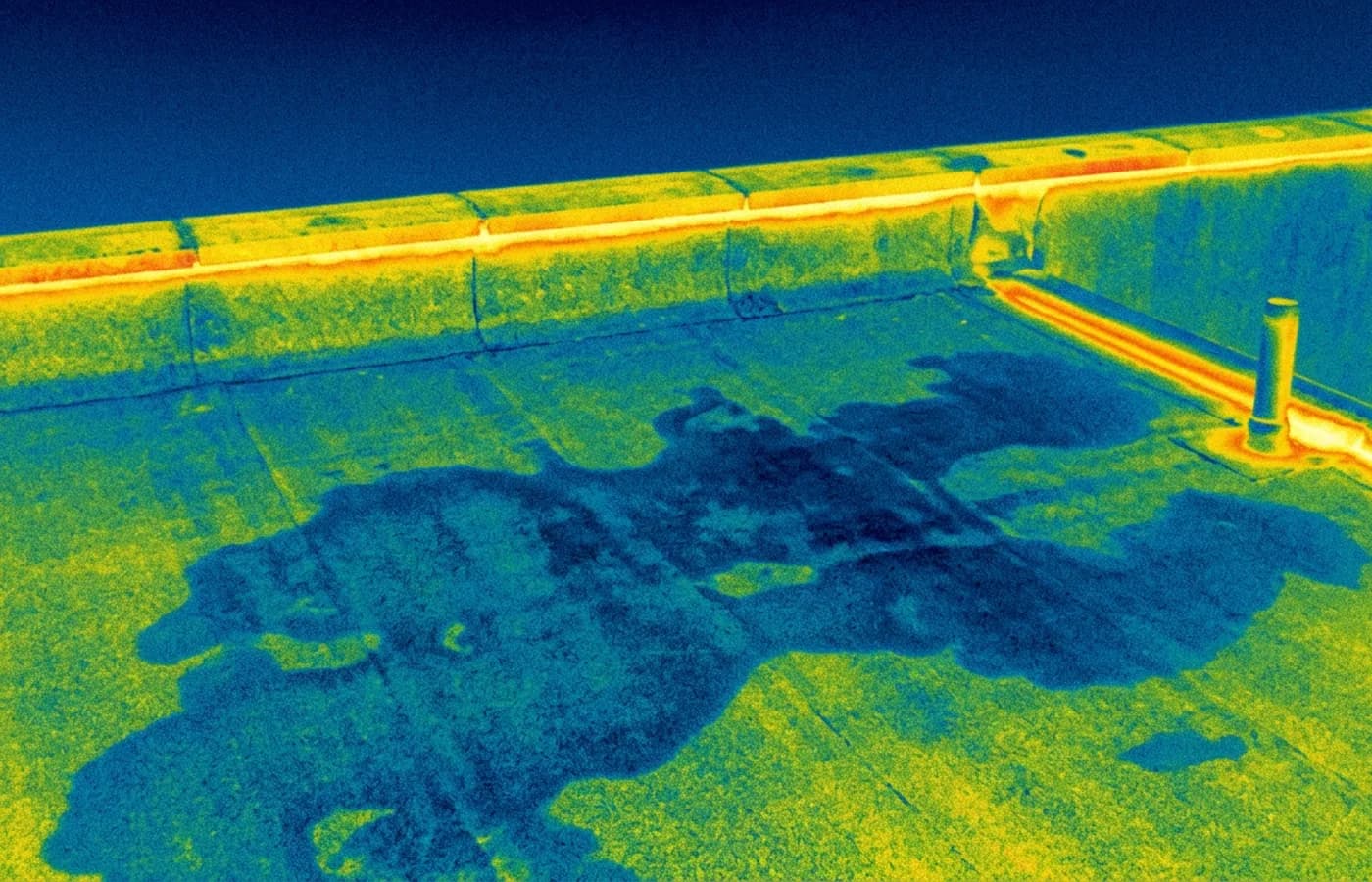
The radiometric camera on the Mavic 2 Enterprise Advanced, used where the question is heat, damp or trapped moisture rather than what a covering looks like.
Thermal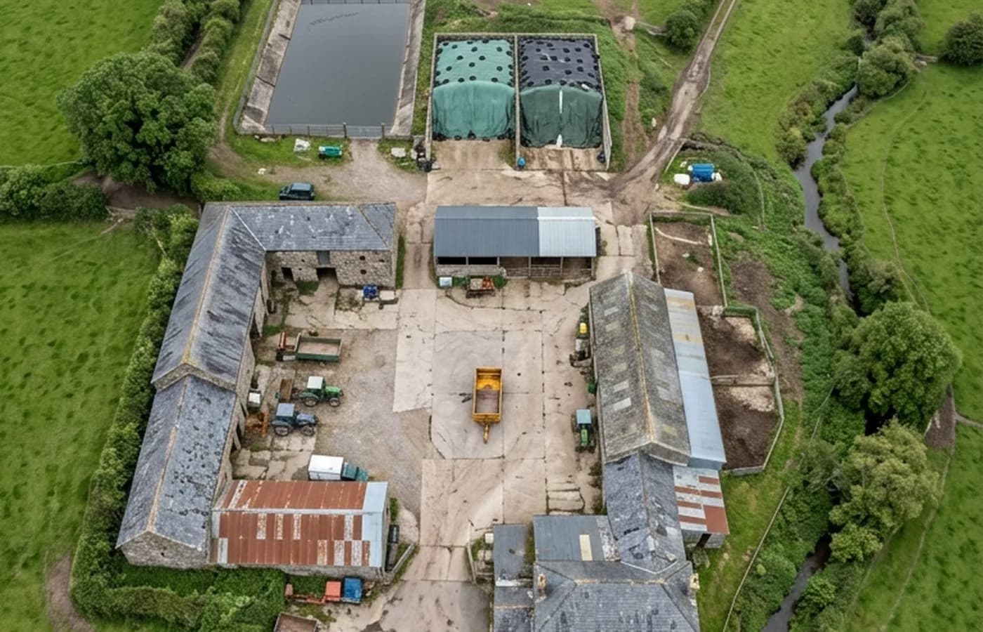
Everything flown over an area rather than a building: mapping runs, dated site records, aerial photography, and searching open ground when something is missing.
Mapping and recordsCredentials
A registered operator with both an Operator ID and a Flyer ID. The Operator ID is the one that has to be displayed on the aircraft, and it is the number a client or an insurer asks for.
The A2 CofC is the theory and self-practical qualification that sits above the basic Flyer ID test. There is no GVC, which is stated here rather than left out, because it changes how some sites have to be planned.
Commercial cover through Coverdrone, one of the specialist drone insurers. A copy of the certificate goes out on request before a booking, not after it.
The main survey aircraft. A 100 megapixel Hasselblad camera and 6K video, which is what lets a photograph of a ridge from twenty metres away still show an open mortar joint.
The thermal aircraft. A 640 by 512 radiometric thermal camera alongside the visual one, so a heat pattern can be read against the picture of the same elevation.
The surveying came after years of contracting, so the report is written by somebody who has stood on the scaffold as well as flown over it, and who knows which faults matter and which are cosmetic.
A process commitment, not a sales promise. The flight is the short part of the job; the report is where the time goes, and it lands within two days of the visit.
Nothing leans on the building and nobody goes up it. That removes the access cost, the permit paperwork and the working-at-height risk from the survey itself.
The deliverable
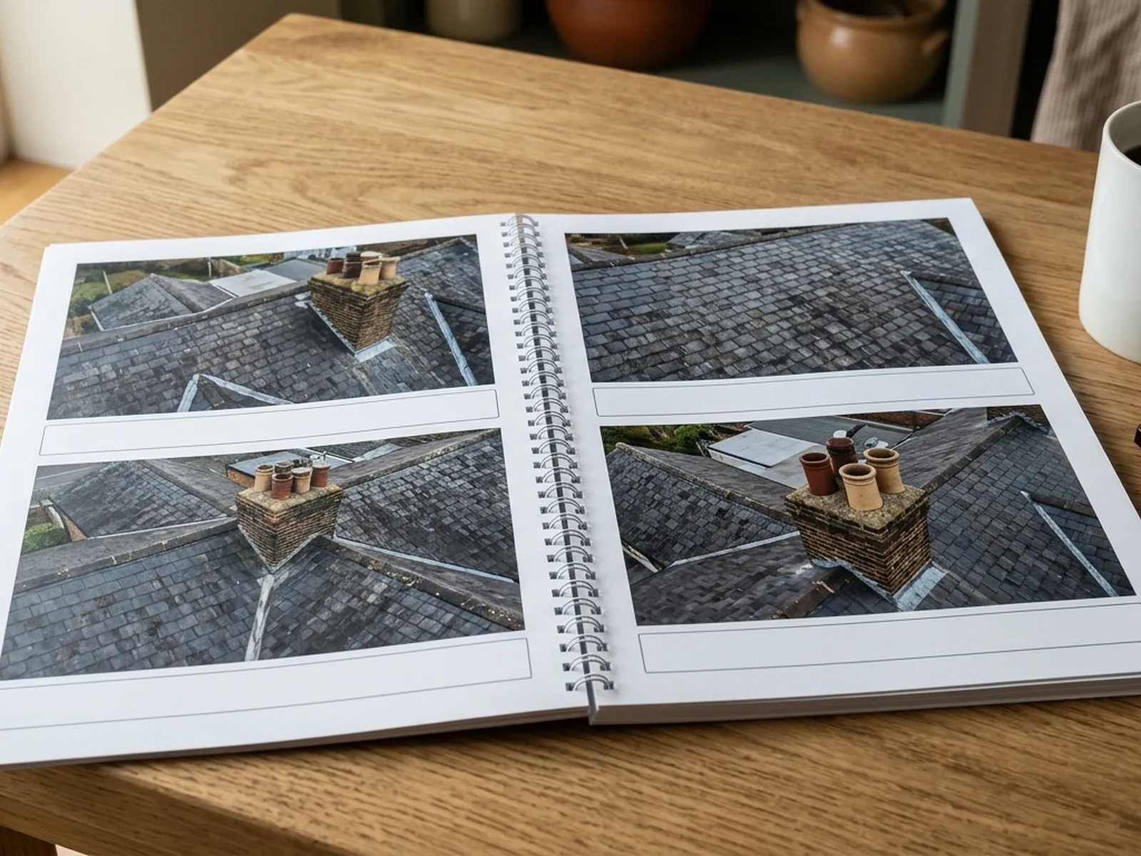
What the camera brings back
Coverage
Questions
Elsewhere
See the credentials
Tell us the address and what you need looking at. Sam Hembury will come back with a fixed price and the next available slot.