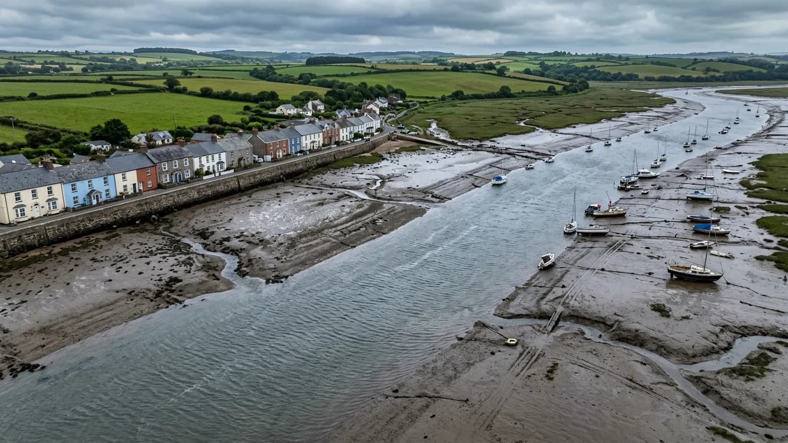
Devon · EX8
Drone surveys in Exmouth, flown by the surveyor who writes them
Twenty minutes from Exeter and the most exposed town on the list: two miles of open front, unbroken salt wind, and uplift at ridge and verge.
Twenty minutes, and worth going at the right time
Exmouth is about twenty minutes from Exeter down the A376, so getting there is never the issue. Getting a flyable window is. This is the most exposed town in the coverage and the wind decides the diary more than the calendar does.
Bookings here are usually made against the forecast rather than against a preferred date, and a survey put back a few days because the sea breeze got up is a survey that produces usable imagery instead of a set of frames taken while the aircraft was fighting to hold position.
The most exposed stock in the coverage
Salt laden south westerlies come in off the sea unbroken across two miles of open front. Two things follow. Fixings and flashings corrode faster here than anywhere inland, and wind uplift on ridges and verges is a recurring problem rather than a storm-year event.
Uplift is the fault worth understanding because it explains most of what a survey finds in Exmouth. Wind flowing over a roof creates suction at the ridge and along the verge, and it works at any unit that is not mechanically held. Mortar bedded ridge tiles that were sound for thirty years reach a point where the bond has gone, and after that each gale moves them a little further. From the ground the roof looks fine. From above you can see the line of the ridge is no longer straight.
The stock spans Regency and Victorian villas on the hillsides, seafront apartment blocks with flat roofs, inter-war and post-war suburbs at Withycombe Raleigh and Littleham on concrete tile, and modern waterside development around the docks. The villas and the seafront blocks are where the interesting work is; the rendered parapets on the front are a category of their own.
Rendered parapets and flat roofs on the front
A rendered parapet on a seafront block does two jobs badly at once. It takes the full weather on its outer face and it hides whatever is happening on the roof behind it. Cracked render lets water into the wall head, and a parapet gutter behind it silts up unseen. Both are visible from the air and neither is visible from the promenade.
The flat roofs on the seafront blocks are the other half of that. They are large, they are above occupied flats, and they are inspected almost never. A single overflight tells a managing agent more than a year of reactive callouts, because it shows where water actually sits rather than where the last leak came through.
Ground and airspace around the town
The ground rises steeply behind the town towards Orcombe Point and the red cliffs, so hillside properties look out over everything below them and take wind accordingly. The marina and docks quarter sits at the other extreme, low and enclosed, where the wind is fickle rather than strong.
Sandy Bay and the seafront are busy for a good part of the year and the beach itself is public ground. Where a property faces the front, the flight gets planned around where people will actually be, which in practice means early rather than clever.
Behind the survey
What Exmouth clients are actually buying
Registered with the CAA
A registered operator with both an Operator ID and a Flyer ID. The Operator ID is the one that has to be displayed on the aircraft, and it is the number a client or an insurer asks for.
A2 Certificate of Competency
The A2 CofC is the theory and self-practical qualification that sits above the basic Flyer ID test. There is no GVC, which is stated here rather than left out, because it changes how some sites have to be planned.
Insured with Coverdrone
Commercial cover through Coverdrone, one of the specialist drone insurers. A copy of the certificate goes out on request before a booking, not after it.
DJI Mavic 4 Pro
The main survey aircraft. A 100 megapixel Hasselblad camera and 6K video, which is what lets a photograph of a ridge from twenty metres away still show an open mortar joint.
DJI Mavic 2 Enterprise Advanced
The thermal aircraft. A 640 by 512 radiometric thermal camera alongside the visual one, so a heat pattern can be read against the picture of the same elevation.
Construction background
The surveying came after years of contracting, so the report is written by somebody who has stood on the scaffold as well as flown over it, and who knows which faults matter and which are cosmetic.
Written report within 48 hours
A process commitment, not a sales promise. The flight is the short part of the job; the report is where the time goes, and it lands within two days of the visit.
No scaffolding, no ladders
Nothing leans on the building and nobody goes up it. That removes the access cost, the permit paperwork and the working-at-height risk from the survey itself.
Nearby
Also covered around Exmouth
- TopshamTen minutes from Exeter. A dense listed core on the Exe estuary, where salt air and hard driven rain do the damage rather than neglect.
- Budleigh SaltertonAround twenty five minutes from Exeter. Substantial detached houses in generous plots, long held and lightly altered, with thatch on the outskirts.
- ExeterThe base town, ten minutes away. The constraint in Exeter is other people rather than distance: dense roofscapes, student blocks, city airspace.
- SidmouthAbout forty minutes from Exeter. A Regency town in a steep valley, where hills either side funnel wind and make the air round chimneys turbulent.
See the credentials
Talk to a surveyor in Exmouth
Send the address and what is worrying you. Sam Hembury will come back with a fixed price and the next slot that suits the weather.