Devon · EX31-EX32
Drone surveys in Barnstaple, flown by the surveyor who writes them
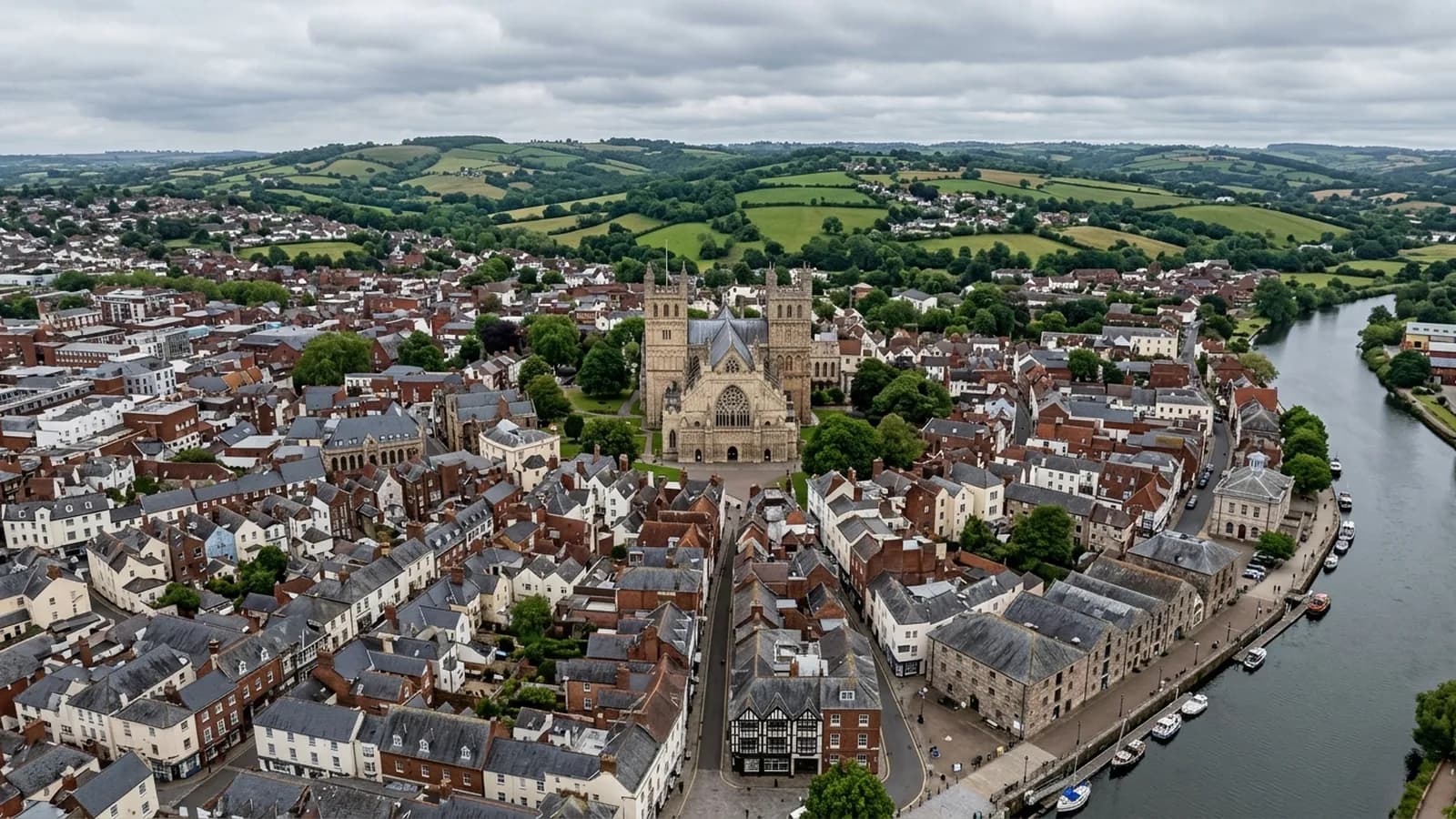
A little over an hour on the A361. North Devon's main town, low beside the Taw, taking Atlantic weather up the estuary with nothing to break it.
The North Devon run
Barnstaple is a little over an hour from Exeter, up the A361 across the middle of the county. It is one of the longer trips on this list and it is normally planned as such: a North Devon day rather than a quick visit, often taking in Bideford or the surrounding parishes at the same time.
None of that changes the price. Travel is inside the fixed figure whether the address is in Topsham or Ilfracombe. What it changes is the diary, so a little notice helps and pairing addresses helps more.
Low ground, steep slopes, and where the buildings sit
The town occupies low ground beside the river at the tidal limit of the Taw, with steep wooded slopes rising north towards Exmoor. Those two positions produce different survey jobs. Down by the water the issue is persistent damp and the age of the fabric. Up on the slopes at Newport and Sticklepath the Victorian terraces sit high enough to catch wind that the town centre never feels.
The Georgian and Victorian centre around the Pannier Market and Butchers Row is the part that most repays aerial work. Historic roofs packed tightly together, with valleys and abutments between buildings in different ownerships, and no practical way to see any of it without either scaffolding a listed frontage or flying.
Atlantic weather with nothing in the way
The Taw estuary points west, and weather comes up it from the Atlantic with very little to break it. Rainfall is high and, more importantly for a roof, the wetting is prolonged. It is not the intensity of a single storm that finishes a slate covering here; it is that shaded slopes barely get a chance to dry out between one system and the next.
Prolonged wetting is the main agent of decay on the shaded slopes, and it shows in specific ways worth photographing: delaminating slate that has gone soft at the tail, nail sickness where the fixings have rusted through while the slate itself is sound, mortar bedding at ridge and verge that has lost its bond, and organic growth thick enough to hold water against the covering.
For a flight, west facing exposure means checking the wind properly rather than trusting the forecast for Exeter. The two are frequently different, and a survey booked on an Exeter forecast is one that gets rescheduled from the far end of the A361.
The modern edges
Large post-war estates and newer development at Roundswell and Anchorwood sit around the older core, mostly on concrete interlocking tile with some clay plain tile in the older parts. These are simpler surveys and they usually come up for a different reason: a leak nobody can place, or a landlord wanting a condition record before a tenancy or a sale.
The trading estates carry large span industrial roofing, and the same logic applies here as anywhere else in Devon. From the ground you can see one elevation. From twenty metres up you can see the whole covering, the gutters, the rooflights and the plant in one pass, and decide what is worth spending money on.
Behind the survey
What Barnstaple clients are actually buying
Registered with the CAA
A registered operator with both an Operator ID and a Flyer ID. The Operator ID is the one that has to be displayed on the aircraft, and it is the number a client or an insurer asks for.
A2 Certificate of Competency
The A2 CofC is the theory and self-practical qualification that sits above the basic Flyer ID test. There is no GVC, which is stated here rather than left out, because it changes how some sites have to be planned.
Insured with Coverdrone
Commercial cover through Coverdrone, one of the specialist drone insurers. A copy of the certificate goes out on request before a booking, not after it.
DJI Mavic 4 Pro
The main survey aircraft. A 100 megapixel Hasselblad camera and 6K video, which is what lets a photograph of a ridge from twenty metres away still show an open mortar joint.
DJI Mavic 2 Enterprise Advanced
The thermal aircraft. A 640 by 512 radiometric thermal camera alongside the visual one, so a heat pattern can be read against the picture of the same elevation.
Construction background
The surveying came after years of contracting, so the report is written by somebody who has stood on the scaffold as well as flown over it, and who knows which faults matter and which are cosmetic.
Written report within 48 hours
A process commitment, not a sales promise. The flight is the short part of the job; the report is where the time goes, and it lands within two days of the visit.
No scaffolding, no ladders
Nothing leans on the building and nobody goes up it. That removes the access cost, the permit paperwork and the working-at-height risk from the survey itself.
Nearby
Also covered around Barnstaple
- BidefordAbout an hour and a quarter from Exeter. A steep former port on the Torridge, where scaffold access is hard and slate hanging exists for a reason.
- South MoltonAbout fifty minutes from Exeter. A livestock market town below Exmoor, where farm buildings on open ground take sustained wind loading.
See the credentials
Talk to a surveyor in Barnstaple
Send the address and what is worrying you. Sam Hembury will come back with a fixed price and the next slot that suits the weather.