Devon · EX36
Drone surveys in South Molton, flown by the surveyor who writes them
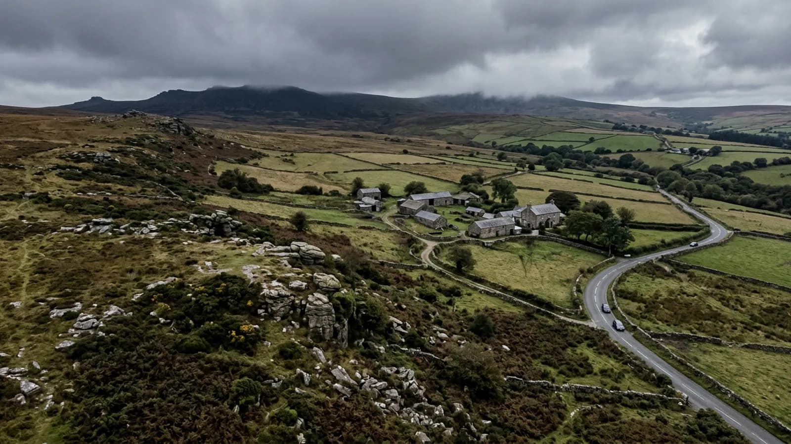
About fifty minutes from Exeter. A livestock market town below Exmoor, where farm buildings on open ground take sustained wind loading.
The Exmoor approach
South Molton is around fifty minutes from Exeter, on rising ground between the Mole and the Bray on the southern approach to Exmoor. It is a market town surrounded by livestock farmland, and the work here splits fairly evenly between the town itself and the farms around it.
Exmoor to the north makes this a wet corner of Devon, with high rainfall and long wetting periods. The pattern is the same as Okehampton on the other side of the county: gradual, even deterioration rather than dramatic failure.
Farm buildings on open ground
Exposed farm buildings out on open ground take sustained wind loading, and that is a different problem from the gusting a valley town gets. Sustained loading works on fixings, on sheet laps and on the connection between a roof and the frame under it, steadily, in the same direction, for days at a time.
Corrugated metal on agricultural buildings is the covering that shows it. What a survey looks for is corrosion around the fixings rather than across the sheet, sheets that have started to lift at the lap on the windward side, ridge capping working loose, and translucent panels that have gone brittle and cracked. On a long range those faults progress from one end, so knowing which end is worth photographing carefully.
One flight over a farm covers the house, the barns, the sheds and the yard together. For a working farm that is the point: it is a single visit that does not interrupt anything, and it produces a record of every roof on the holding on one date.
The town itself
The Georgian centre around the square and the Guildhall is handsome and compact, with terraced cottages behind it and modern estates to the east. Natural slate and clay plain tile dominate the older stock, concrete tile the newer.
Farmhouses and barn conversions in the surrounding parishes are a category worth calling out separately. A converted barn has a roof that was designed for an agricultural building and has been asked to perform as a dwelling, often with insulation added underneath and rooflights cut into it. Those junctions are where the problems are, and they are all on the top surface where nobody looks.
Livestock, and how a flight is planned around it
This is livestock country and that is a real consideration rather than a courtesy. Flights are planned to avoid disturbing animals, which in practice means talking to whoever is farming the ground before the visit, keeping height and distance sensible over stock, and not flying over a field that is being worked.
Nothing about a survey is worth putting a herd through a fence for. Where the timing has to move to suit the farm, it moves.
Behind the survey
What South Molton clients are actually buying
Registered with the CAA
A registered operator with both an Operator ID and a Flyer ID. The Operator ID is the one that has to be displayed on the aircraft, and it is the number a client or an insurer asks for.
A2 Certificate of Competency
The A2 CofC is the theory and self-practical qualification that sits above the basic Flyer ID test. There is no GVC, which is stated here rather than left out, because it changes how some sites have to be planned.
Insured with Coverdrone
Commercial cover through Coverdrone, one of the specialist drone insurers. A copy of the certificate goes out on request before a booking, not after it.
DJI Mavic 4 Pro
The main survey aircraft. A 100 megapixel Hasselblad camera and 6K video, which is what lets a photograph of a ridge from twenty metres away still show an open mortar joint.
DJI Mavic 2 Enterprise Advanced
The thermal aircraft. A 640 by 512 radiometric thermal camera alongside the visual one, so a heat pattern can be read against the picture of the same elevation.
Construction background
The surveying came after years of contracting, so the report is written by somebody who has stood on the scaffold as well as flown over it, and who knows which faults matter and which are cosmetic.
Written report within 48 hours
A process commitment, not a sales promise. The flight is the short part of the job; the report is where the time goes, and it lands within two days of the visit.
No scaffolding, no ladders
Nothing leans on the building and nobody goes up it. That removes the access cost, the permit paperwork and the working-at-height risk from the survey itself.
Nearby
Also covered around South Molton
- BarnstapleA little over an hour on the A361. North Devon's main town, low beside the Taw, taking Atlantic weather up the estuary with nothing to break it.
- TivertonHalf an hour from Exeter, up a wet stretch of the Exe valley, where steep sites put many roofs above the local roofline and into more wind.
See the credentials
Talk to a surveyor in South Molton
Send the address and what is worrying you. Sam Hembury will come back with a fixed price and the next slot that suits the weather.