Devon · EX16
Drone surveys in Tiverton, flown by the surveyor who writes them
Half an hour from Exeter, up a wet stretch of the Exe valley, where steep sites put many roofs above the local roofline and into more wind.
Up the Exe valley
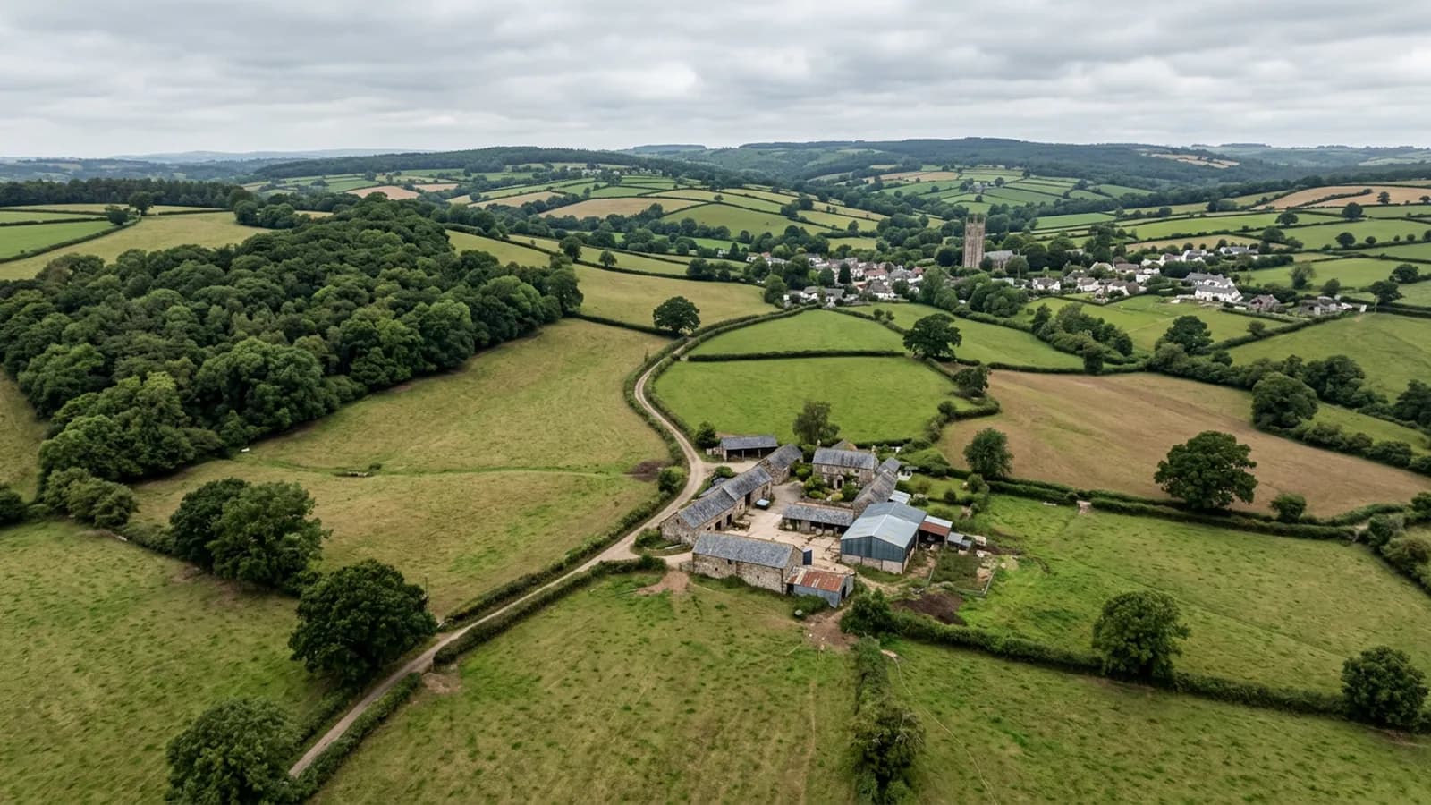
Tiverton is about half an hour from Exeter, built where the Lowman joins the Exe on steep sided ground. The town centre sits low and the residential streets climb sharply north and west, which is the single most important thing about surveying here.
The Exe valley at this point is notably wet, well above the Devon average. Combine that with the height differences across the town and you get a place where two properties in the same postcode can be having quite different experiences of the weather.
Roofs above the roofline
Steep sites mean many roofs sit above the general roofline of everything around them, and wind loading is worse in that position. A house halfway up a slope is sheltered by the ones below it; a house at the top is sheltering everything else and taking the load for all of them.
That shows up in a survey as ridge and verge work. Mortar bedded ridges on the high streets go before the same detail lower down, hip tiles work loose, and verge pointing cracks and then falls in sections. Where a client has properties at different heights in the town, the comparison between them is often the most useful thing the survey produces.
The stock runs from a medieval and Georgian centre through Victorian mill workers' terraces to extensive post-war estates and large modern development on the eastern edge. The mill terraces are the classic aerial survey case: long rows, shared valleys, party wall abutments, and rear slopes reachable only from someone else's garden.
Stone slate on the outlying buildings
Alongside the natural slate, clay plain tile and concrete tile, there is stone slate on older outlying buildings. It is heavy, it is laid in diminishing courses, and it is expensive to put right, which makes an accurate assessment of how much of it has actually failed worth having.
The difference between a roof that needs twenty units re-fixing and one that needs stripping and relaying is a large sum of money, and it is very hard to establish from the ground. At full resolution from a few metres away it is a matter of counting.
The landmarks and the wider parish
Tiverton Castle, the Grand Western Canal, Knightshayes Court and Blundell's School give a sense of the range of building here: fortified stone, canal era engineering, a substantial Victorian country house, and institutional buildings with large complex roofs.
Institutional and estate roofs are a strong case for aerial work because of their scale. A building with a hundred metres of parapet gutter and half a dozen roof planes cannot sensibly be inspected any other way without a great deal of scaffolding, and the report needs to be systematic rather than impressionistic to be worth anything.
Behind the survey
What Tiverton clients are actually buying
Registered with the CAA
A registered operator with both an Operator ID and a Flyer ID. The Operator ID is the one that has to be displayed on the aircraft, and it is the number a client or an insurer asks for.
A2 Certificate of Competency
The A2 CofC is the theory and self-practical qualification that sits above the basic Flyer ID test. There is no GVC, which is stated here rather than left out, because it changes how some sites have to be planned.
Insured with Coverdrone
Commercial cover through Coverdrone, one of the specialist drone insurers. A copy of the certificate goes out on request before a booking, not after it.
DJI Mavic 4 Pro
The main survey aircraft. A 100 megapixel Hasselblad camera and 6K video, which is what lets a photograph of a ridge from twenty metres away still show an open mortar joint.
DJI Mavic 2 Enterprise Advanced
The thermal aircraft. A 640 by 512 radiometric thermal camera alongside the visual one, so a heat pattern can be read against the picture of the same elevation.
Construction background
The surveying came after years of contracting, so the report is written by somebody who has stood on the scaffold as well as flown over it, and who knows which faults matter and which are cosmetic.
Written report within 48 hours
A process commitment, not a sales promise. The flight is the short part of the job; the report is where the time goes, and it lands within two days of the visit.
No scaffolding, no ladders
Nothing leans on the building and nobody goes up it. That removes the access cost, the permit paperwork and the working-at-height risk from the survey itself.
Nearby
Also covered around Tiverton
- CullomptonTwenty five minutes up the M5. A Culm valley town of medieval fabric, thatch and modern estates, on ground that holds damp and frost.
- CreditonFifteen minutes from Exeter. Cob and thatch in the lanes, Devon slate and stone tile in the town, and a valley that is hard on thatch ridges.
- ExeterThe base town, ten minutes away. The constraint in Exeter is other people rather than distance: dense roofscapes, student blocks, city airspace.
See the credentials
Talk to a surveyor in Tiverton
Send the address and what is worrying you. Sam Hembury will come back with a fixed price and the next slot that suits the weather.