Devon · PL19
Drone surveys in Tavistock, flown by the surveyor who writes them
About an hour from Exeter. A Victorian planned town in green Hurdwick stone, very wet, with tall stone stacks that take real wind loading.
An hour west, on the Tamar side of the moor
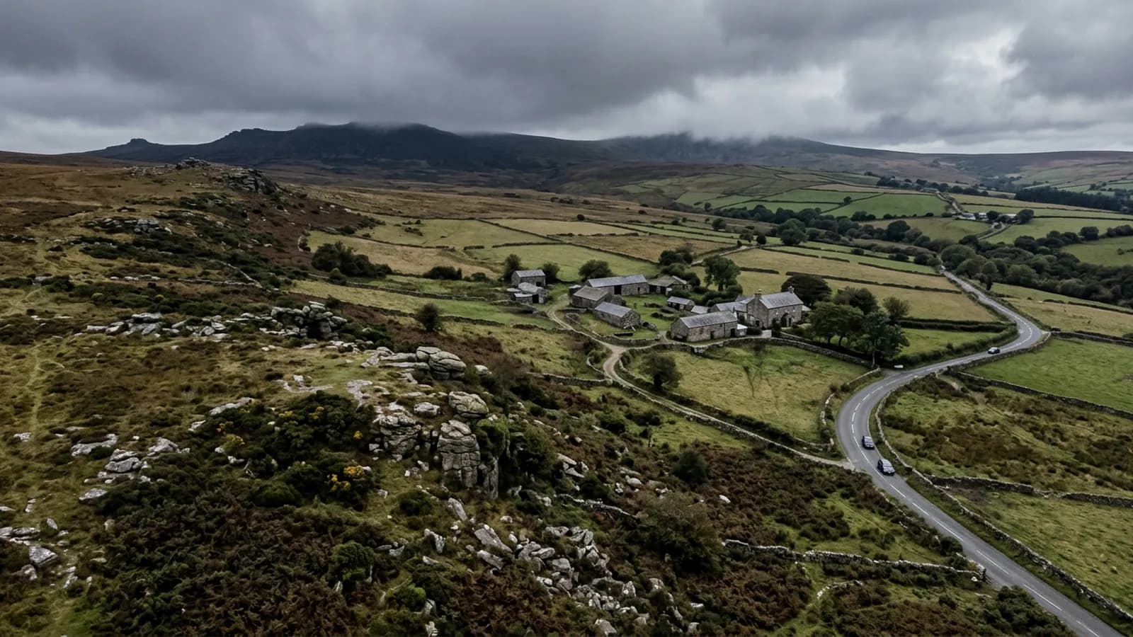
Tavistock is roughly an hour from Exeter, either over the moor or round it depending on the weather. It sits in the Tavy valley on the western edge of Dartmoor, with the moor rising to the east and the Tamar valley falling away west towards Cornwall.
It is one of the more distinctive towns in the coverage because of what it is built from. The Victorian planned centre is in green Hurdwick stone, built on mining wealth, and it is a coherent piece of townscape rather than an accumulation. That coherence is useful for a surveyor: buildings of one date and one material tend to reach the same problems at the same time.
Tall stone chimneys and wind loading
Steep sites and tall stone chimneys make wind loading on stacks a live concern here rather than a theoretical one. A tall stack in a valley that funnels wind is carrying a lateral load its mortar was never asked to resist in a sheltered town, and the failure mode is not subtle when it comes.
Stacks are therefore a first order item on any survey in this town. What gets photographed is the flaunching, the state of the pointing at every course, whether the stack is plumb, the condition of the flashings and soakers where it passes through the roof, and whether anything has been added to the top of it. All of that is close to invisible from the ground and all of it is straightforward at eight metres away with a 100 megapixel camera.
Terraced miners' cottages in the surrounding villages carry the same detail at smaller scale, in rows, which again means a fault on one is worth looking for on the rest.
Very wet, and slate that shows it
With Dartmoor to the east and the prevailing south westerly bringing rain up the Tamar, this is a very wet town. Natural slate and Delabole slate dominate, with stone bedded ridges and concrete tile on the later housing.
Delabole slate is worth a specific note. It is a Cornish slate with a long service life and a distinctive appearance, and it is often found on buildings where the rest of the roof has been renewed around it. Telling an original Delabole covering from a later replacement matters when advising on what to do next, and it is legible in high resolution imagery in a way it is not from the ground.
Stone bedded ridges have the same characteristic as the granite ones at Okehampton: heavy, durable, and worth close attention once the bedding starts to go.
A World Heritage setting
Tavistock sits within the Cornwall and West Devon Mining World Heritage Site, and the abbey remains and the pannier market are at the centre of the town. Working around historic fabric of that significance is a matter of planning the flight so the aircraft is where it should be and the imagery covers what was asked for, without any need to be clever about it.
The practical effect on a survey is mostly about the answer rather than the flight: where a building is listed or in a sensitive setting, a report that says exactly which slates and which metres of pointing need attention is worth a great deal more than one that recommends a general overhaul.
Behind the survey
What Tavistock clients are actually buying
Registered with the CAA
A registered operator with both an Operator ID and a Flyer ID. The Operator ID is the one that has to be displayed on the aircraft, and it is the number a client or an insurer asks for.
A2 Certificate of Competency
The A2 CofC is the theory and self-practical qualification that sits above the basic Flyer ID test. There is no GVC, which is stated here rather than left out, because it changes how some sites have to be planned.
Insured with Coverdrone
Commercial cover through Coverdrone, one of the specialist drone insurers. A copy of the certificate goes out on request before a booking, not after it.
DJI Mavic 4 Pro
The main survey aircraft. A 100 megapixel Hasselblad camera and 6K video, which is what lets a photograph of a ridge from twenty metres away still show an open mortar joint.
DJI Mavic 2 Enterprise Advanced
The thermal aircraft. A 640 by 512 radiometric thermal camera alongside the visual one, so a heat pattern can be read against the picture of the same elevation.
Construction background
The surveying came after years of contracting, so the report is written by somebody who has stood on the scaffold as well as flown over it, and who knows which faults matter and which are cosmetic.
Written report within 48 hours
A process commitment, not a sales promise. The flight is the short part of the job; the report is where the time goes, and it lands within two days of the visit.
No scaffolding, no ladders
Nothing leans on the building and nobody goes up it. That removes the access cost, the permit paperwork and the working-at-height risk from the survey itself.
Nearby
Also covered around Tavistock
- OkehamptonAbout forty minutes from Exeter, and one of the wettest towns covered. Dartmoor lifts Atlantic air on the doorstep, so roofs here stay wet.
- PlymouthAbout an hour down the A38 and the biggest urban job on the list: limestone ridges, post-war flat roofs, and salt wind coming straight off the Sound.
- IvybridgeAbout fifty minutes from Exeter. A late twentieth century town on the southern moor edge, where mechanically fixed ridge and verge details matter.
See the credentials
Talk to a surveyor in Tavistock
Send the address and what is worrying you. Sam Hembury will come back with a fixed price and the next slot that suits the weather.