Devon · TQ9
Drone surveys in Totnes, flown by the surveyor who writes them
About forty five minutes from Exeter. A steep medieval hill town on the Dart, packed with hidden valleys and party wall abutments.
Up the hill from the river
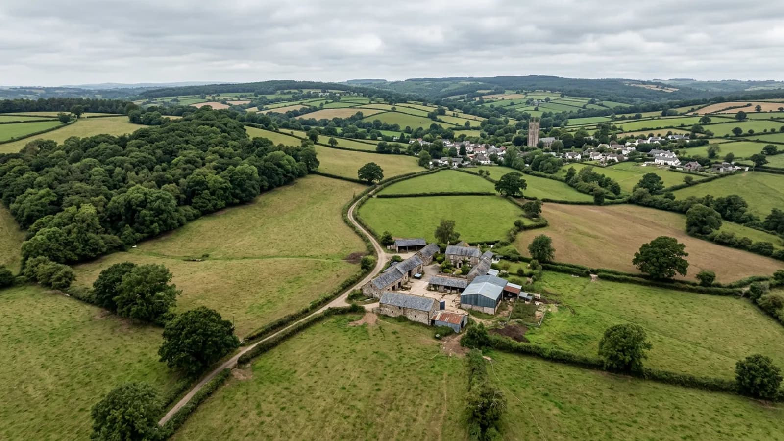
Totnes is about forty five minutes from Exeter, a hill town at the tidal limit of the Dart with a very steep main street running from the river up to the castle. Rolling South Hams farmland surrounds it.
The dense medieval and Elizabethan core is what generates most of the survey work: slate hung and jettied frontages, Georgian and Victorian streets behind, and modern estates on the outskirts at Bridgetown and Follaton.
Hidden valleys and party wall abutments
Tightly packed historic roofs have many hidden valleys and party wall abutments that trap debris, and that is the defining survey issue in this town. A valley between two buildings of different heights, in different ownership, roofed at different dates, is where leaves, grit and moss collect and where nobody has any incentive or any means to look.
When one of those blocks, the water does not run off the front of the building where somebody would notice. It backs up under the slates and into the wall between two properties, and the first sign is damp on an internal wall that neither owner can explain.
From above, this is simple. The valley is either clear or it is not, and a photograph settles the argument between two owners far better than an opinion does. On a run of buildings, one flight can map every valley and every abutment along the row.
Slate hanging on the frontages
Slate hanging appears here as it does at Bideford and Dartmouth, protecting elevations that take driving rain. On a jettied or timber framed building it is doing an important job, because the wall behind it is not designed to be soaked.
Assessing a hung elevation from the street is difficult because of the angle and because much of it is above the shopfronts. From an aircraft at first floor height and a few metres out, every slate is legible, and so is every patch, every slipped unit and every place where the hanging has been cut about for a later pipe or cable.
Alongside the hanging there is natural slate and clay plain tile on the roofs, and concrete tile on the modern estates at the edges.
Sheltered and damp, like Dartmouth downstream
Inland and reasonably sheltered, but the valley is damp, so the pattern here is closer to Dartmouth than to the coast: organic growth rather than storm damage, and slow deterioration on shaded slopes rather than sudden failure.
Totnes Castle sits above the town and the Dartington Hall estate lies just outside it. Estate and institutional buildings of that kind bring large complex roofs with lead work and long gutter runs, where a systematic aerial record is the only practical way to get a whole picture in one go.
Behind the survey
What Totnes clients are actually buying
Registered with the CAA
A registered operator with both an Operator ID and a Flyer ID. The Operator ID is the one that has to be displayed on the aircraft, and it is the number a client or an insurer asks for.
A2 Certificate of Competency
The A2 CofC is the theory and self-practical qualification that sits above the basic Flyer ID test. There is no GVC, which is stated here rather than left out, because it changes how some sites have to be planned.
Insured with Coverdrone
Commercial cover through Coverdrone, one of the specialist drone insurers. A copy of the certificate goes out on request before a booking, not after it.
DJI Mavic 4 Pro
The main survey aircraft. A 100 megapixel Hasselblad camera and 6K video, which is what lets a photograph of a ridge from twenty metres away still show an open mortar joint.
DJI Mavic 2 Enterprise Advanced
The thermal aircraft. A 640 by 512 radiometric thermal camera alongside the visual one, so a heat pattern can be read against the picture of the same elevation.
Construction background
The surveying came after years of contracting, so the report is written by somebody who has stood on the scaffold as well as flown over it, and who knows which faults matter and which are cosmetic.
Written report within 48 hours
A process commitment, not a sales promise. The flight is the short part of the job; the report is where the time goes, and it lands within two days of the visit.
No scaffolding, no ladders
Nothing leans on the building and nobody goes up it. That removes the access cost, the permit paperwork and the working-at-height risk from the survey itself.
Nearby
Also covered around Totnes
- DartmouthJust over an hour from Exeter. Streets steep enough to become stairs, jettied merchant houses, and roofs that discharge onto their neighbours.
- Newton AbbotAbout half an hour from Exeter. A flat floodplain town of railway-era terraces and trading estate roofs, where mist off the Teign keeps shaded slate green.
- IvybridgeAbout fifty minutes from Exeter. A late twentieth century town on the southern moor edge, where mechanically fixed ridge and verge details matter.
See the credentials
Talk to a surveyor in Totnes
Send the address and what is worrying you. Sam Hembury will come back with a fixed price and the next slot that suits the weather.